At Public Seminar, McKenzie Wark does a deep reading of Eyal Weizman’s recent book The Conflict Shoreline (with photographs by Fazal Sheikh), about Israel’s effort to displace and “resettle” Bedouins in the Negev Desert. As Wark demonstrates, “Weizman’s forensic architecture offers powerful tools for seeing again what has been unseen by certain regimes of visual power.” Here’s an excerpt from Wark’s piece:
I think Weizman has created an architecture about a whole other kind of sign – the index. Indexical signs are traces of events: where there is smoke there is fire. The smoke does not resemble the fire. It is not an icon. Nor does it have a code like a symbolic sign system. Forensics is a matter of working backwards from the index to the event of which it is the sign, like in a detective story. A forensic architecture takes as its subject events that happen or don’t happen in build space, including the destruction of built space.
A fine example is The Conflict Shoreline (Cabinet and Steidl Verlag, 2015)which contains Weizman’s text and magnificent photographs by Fazal Sheikh from his Erasure Trilogy (Steidl, 2010-15). This book was submitted as evidence for the Truth Commission on Responsibility of Israeli Society for the Events of 1948-1960 in the South. Here Weizman’s focus shifts from Israel’s relation to Palestine to its relation to the Bedouin of the Negev desert.
The subject of the book is a small subset of the issues happening all along the line of aridity running across North Africa and the Middle East: the battle over the Negev: “a systematic state campaign meant to uproot the Bedouins from the fertile northern threshold of the desert, concentrate them in purpose-built towns, located mostly in the desert’s arid parts, and hand over their arable land for Jewish settlement…”
Between 1948 and 1953 about 90% of the 100,000 Bedouin were forced out of Negev into Gaza, the West Bank, Jordan and Egypt. About 12,000 became Israeli citizens, but were relocated to an arid and salt afflicted zone of the Negev that was under military rule until 1966. After that, they were relegated to concentration townships. The Bedouin try repeatedly to return to their land, only to be treated as trespassers, the settlements demolished.
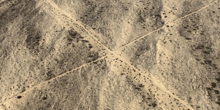
What makes this a story about climate and colonialism is that the border of the desert itself is a meteorological fact rather than just a cartographic one. It is marked by the 200 mm annual rainfall isohyet – or rather by a line arrived at by averaging the recorded rainfall for several successive years. Below 200mm, ‘farming’ is not supposed to be possible. But this all depends on what one thinks constitutes farming. The aridity line is “defined by an interplay between meteorological data (rainfall/temperature), patterns of human use (modern agricultural practices), and plant species (the cereal types used in intensive farming).” But the Bedouin can use much lower rainfall levels to farm. This is an inconvenient fact for a colonial narrative in which settler make an empty desert bloom with their imported farming methods.